Geological Mapping: Coniston, UK
Over the vacation between my second and third years at the University of Southampton I was required to undertake a five week geological mapping exercise. Whilst colleagues from my year group chose exotic locations such as Santorini, Aliaga and Bulgaria, my mapping partner and I chose to spend our five weeks in the English Lake District – for my part under the misaprehension that without air travel etc. it would be cheaper… how wrong I was.
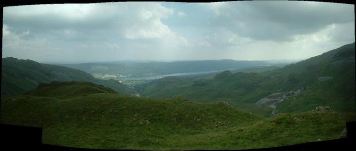
However, with the bank balance at least £1000.00 lighter, and with assurances from the met-office that the weather would be fair the mapping exercise began. It was a long five weeks of trudging around the high mountains and low, rolling hills of the glacial valleys in what certainly felt like an uncharacteristically hot British summer. Whilst I’m sure my mapping partner would remind me of how much complaining I did during those five weeks it was great fun, at least in hindsight.
On returning to Southampton, so began the write up. Including the production of an A1 geological map and an 8000 word mapping report, both of which can be found below in their final forms published here under the Creative Commons CC BY-NC-ND licence
Independent Mapping Project – Final Report (.pdf format)
Independent Mapping Project – Final Interpretative Map (.pdf format)

